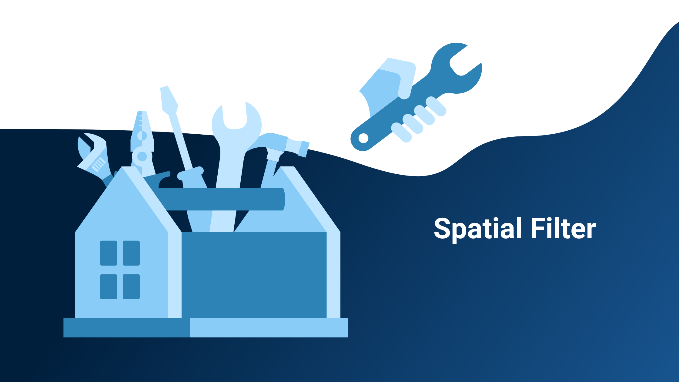
Following the first two posts in this blog series, we would like to introduce you to another tool from our toolbox: the Spatial Filter. But what do you need it for and how exactly is it used?
The Spatial Filter is used to filter an area according to certain criteria. You select a region and only display buildings that meet certain criteria that you have selected.
This is helpful for various questions, for example:
- Which buildings are in an area with an average age of residents between 30 and 40 years and more than a 5-minute walk from a public charging station?
- Where is the energy demand of buildings high and there are no gas or district heating connections?
- From which buildings can you reach a bakery, a supermarket, and a restaurant in maximum five minutes on foot?
- Which parking spaces are near a café or a supermarket?
The Spatial Filter allows filtering objects according to their attributes (internal filter) and with spatial relations among them (external filter). We thus differentiate between internal and external filters.
Internal filters include, for example, information related to a building itself, i.e. the heat demand or the year of construction. For example, you can selectively display buildings that were built before 1980 or have a heat demand of more than 30,000 kWh per year.
External filters, on the other hand, refer to the surroundings, i.e. the proximity to a supermarket, the nearest public charging station or the district heating network.
How are data layers different from filter layers?
The geospin layers each refer to one data source. You can select them in the wizard in our portal and then, for example, have charging infrastructure, age structures or supermarkets displayed on the interactive map as a separate data layer.
Filter layers, on the other hand, already combine various factors within one analysis, thus saving time. The accessibility analysis, which you know from the first article, is included in the filter layers if, for example, the walking distance to public transport is included. The location assessment also takes place automatically here, for example, the distance to the nearest food options can be taken into account directly.
Let's take a look at the filters with the help of examples:
Real Estate
If you're looking for a suitable office building, the result of our spatial filter might look like this, for example:
%20(1)%20(1).jpg?width=700&name=Kopie%20von%20U%CC%88berschrift%20hinzufu%CC%88gen%20(4)%20(1)%20(1).jpg)
Map 1: Display of the results of a spatial filter in the Location Intelligence Portal
On map 1 you see potential office buildings around a specified address. In this filter, it is set that the building should be a maximum of 5 minutes' walk from the nearest bus stop and the nearest eating facility should be within a maximum of five-minute walk. The walking minutes can be adjusted. You can also change the map section and have the filter layer recalculated.
Heat demand
Sustainability is the big issue when it comes to meeting today's challenges, and heat supply is a huge priority for municipalities in particular. How can the heat supply be made sustainable?
On map 2 you see two layers with randomly generated data. On the one hand, a district heating network is shown in green and on the other hand, you see building outlines and the heat consumption of the buildings. The brighter the building, the higher the heat demand. Here you can see both the heat demand of different buildings and the distance to the district heating network. It now makes sense to further expand the district heating network where the heat demand is very high.
.jpg?width=700&name=22-04%20Demo%20Wa%CC%88rme%20(1).jpg)
Map 2: Visualization of a district heating network and the heat demand of buildings for demo purposes
In this short video you can see how our Spatial Filter can be used to relate the distance to the district heating pipeline to the heat demand of buildings. You can show or hide the filter layer as you wish and adjust the minimum heat demand as well as the distance to the district heating pipe. With the help of the Spatial Filter, you can thus specifically display the buildings that have a high heat demand and are close to the district heating network.
Video 1: Spatial filter showing buildings with high heat demand near the district heating network
Charging infrastructure
In the following video it can be observed very well how the map view changes when the data is adjusted. The existing AC and DC charging stations are fixed. The view of buildings without charging infrastructure changes when the walking minutes are adjusted. Initially, buildings from which no public charging station can be reached in 5 minutes should be displayed. Increasing this to 9 minutes walking reduces the number of buildings.
Video 2: Spatial filter that displays buildings depending on their distance from public charging stations
The advantages of the Spatial Filter at a glance:
- individual questions can be mapped
- time saving
- real-time calculation
- a filter that filters objects taking into account their spatial relationship does not exist like this so far
- versatile combination possibilities of spatial relations to an object
Are you curious? Register for free and test the Spatial Filter yourself! Here you can learn how to do it.