Location Intelligence. Artificial Intelligence. Machine Learning. Datasets. Explainable AI…
An ever continuing series of words that would have only been part of a science fiction movie just a few years ago....
Why do other languages also use these English terms?
Over the last few years, current research and progress has experienced a shift to an evermore international stage. Especially in certain fields such as artificial intelligence or machine learning, the latest findings are emerging through the collaboration of global players from different research directions. Therefore, most concepts in the field of artificial intelligence are indeed common in German. In professional discourse, however, the English terms are usually used. This way, everyone involved knows exactly what they are talking about.
Location intelligence is closely intertwined with other concepts. These concepts are an integral part of what Location Intelligence is and what we at Geospin deal with on a daily basis. Over the last five years, we have become experts in this field. And our vision is to allow anyone to incorporate location-based analytics into decision making.
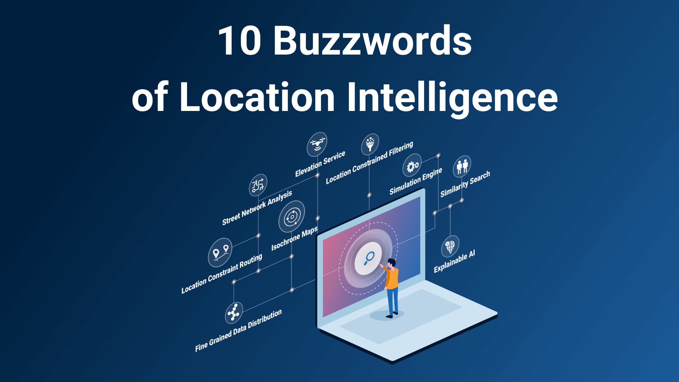
We know from our own experience and from discussions with our customers that - when dealing with Location Intelligence - sooner or later you’ll always come across certain buzzwords. In this article, we want to take up these buzzwords, shed light on them, and explain what is behind them. In doing so, we will kill two birds with one stone: On the one hand, you'll be able to have a sound grasp of this discourse. On the other hand, you'll dive deeper into the multi-layered topic of Location Intelligence.
Let's get into the fray!
-
- Data-driven decision making
There are several ways to take decisions. Often, we can follow our intuition that stems from either expertise or routine. We use these decision-making processes every day, e.g. in our personal lives or at work. They make our lives quite a bit easier and more enjoyable.
Over the last few decades, a new approach has developed, driven primarily by technological progress and digitalization. However, you can't really call the approach entirely new: Data-driven decision making refers to decisions that are based on concrete data. It involves paying attention to which data leads to which results and makes an analysis of the patterns in the data base to get insights as to how the decisions were taken.
Of course, this has always existed. What’s special in this new approach is the amount of data that is available today. Data-driven decision-making becomes possible in a way that makes data-driven decisions the new standard:
A standard that will increasingly support experts in their choices and provides them with the right data and arguments. This can prevent various errors in judgment.
At this point, a small literary bestseller recommendation from us. It is not only suitable for the desk, but also for the nightstand: Daniel Kahneman (2012): Thinking, fast and slow.
An all-around examination on how people take decisions and the mechanisms they follow to do so.
-
- Prescriptive Analytics
Prescriptive Analytics refer to decision-making processes in organizations. For example, if a company wants to take a new direction or plans an important investment, it may want to use machine learning.This concept takes into account a variety of data bases to analyze and calculate the impact of certain decisions in the future.With this type of data-driven decision making, business decisions are based on a solid data foundation and the probabilities that result from them.
But which data can be used for this purpose?
-
- Spatial data and geodata
We at Geospin are spatial- and geo data specialists. By the way, this is where our name originally comes from (GEO – SPatial – INtelligence) ;)
This data refers to all data points that can be pinpointed locally. And yes, that's quite a lot. Because if you only think of locations now, you're mistaken. The data in our Location Intelligence Portal includes a variety of possible data sources, from sociological data to traffic data to crime statistics. All of this data can be assigned to a specific location, with an accuracy of 100 meters.
The best way to get an impression is to take a look at the different geodata yourself!
-
- Data point
Data sets are composed of individual data points. You can imagine how big such a collection is, if it combines data points from all over Germany.
For example, a data point defines a parking lot in the center of Cologne and its coordinates.But other information can also be associated with this data point (e.g., for electric charging stations: daily utilization or power supply by direct or alternating current...).
-
- Layer
All data points of a certain category can be grouped under one layer. In our Geospin portal one can put this layer over a map. Then you can see all data points nationwide that refer to this data collection (e.g. all gas stations, indicated by a tank symbol).
Here you will find an overview of the data layers currently in our portal.
-
- Open Data
Geospin does not collect this immense amount of data itself. The federal, state and local governments are becoming increasingly aware of the importance to provide spatial and geospatial data about their regions.In many digitization initiatives throughout Germany, this data is being collected and made publicly available. It is therefore open data.
Our home city of Freiburg, for example, is part of the "Smart Cities 2020" program and is thus building a Freiburg Data Space (https://fritz.freiburg.de/Informationsportal/configurator?scenario=OpenData).
-
- Data Visualization
And what do you imagine when you read the word data set? Probably a never-ending Excel table opens up in front of your inner eye, devouring everything around it. You are not entirely wrong: data is, by its very nature, measurable (numerical) values. And geodata is no exception. And geodata is no exception. Unless you replace the excel spreadsheet with an expertly designed geospin portal you can't get enough of.
All jokes aside; obviously you would visualize spatial and geodata with the help of a map and use different display modes, colors and legends in order to navigate the huge amount of data. And this is exactly what Geospin does in its portal. You select different data layers and decide on a view. Then you get your very own picture of the data points in your area. The combination of multiple data layers opens up new perspectives that would have remained hidden if viewed individually.
So far so good, but how do you know which data matters when?
This is where the two most used buzzwords of the century come into play:
-
- Artificial Intelligence (AI) and Machine Learning
Machine Learning is nothing more than a subcategory of artificial intelligence. It simply describes how computers learn. The ability to learn is not only significant for humans for almost all areas of life. Machine learning methods have also proven to be very effective for other areas of artificial intelligence, for instance in pattern recognition or in knowledge-based systems. Thus, machine learning affects most facets of artificial intelligence.
Machine Learning is one method of data analysis. One part of machine learning is supervised learning. We have a data set that contains various data points. Now, we can tie certain outcomes to each of these data points that we can identify from past data: for example, the utilization of an electric charging station.
Based on this dataset, we train an algorithm that recognizes which characteristics of the data point lead to distinctions in its outcome. In short, what influences whether a charging station is at capacity or not?
The algorithm thus learns from already known data and is then able to predict whether a planned charging pole will achieve high or low utilization.
-
- Explainable AI
In some cases, the criteria an algorithm takes into account may remain unknown. The algorithm is a black box and users only know the input and output of the algorithms.
This becomes particularly relevant when ethics come into play in AI algorithm decisions. For example, you don't want a person's skin color or gender to play a role in assessing creditworthiness.
To rule that out, explainable AI is looking into the transparency of AI algorithms. The goal is to be able to say in retrospect which aspects led to which results.
This allows us at Geospin to understand which factors play a role in which results.
-
- Smart City
And now one last buzzword that is particularly close to our hearts. As mentioned above, Freiburg was selected for the "Smart Cities 2020" project and has developed a broad digitization strategy (https://digital.freiburg.de/) last year.
A smart city encompasses all the aspects that have been mentioned so far and that we count among our core competencies. Smart City is unthinkable without Location Intelligence. Because it is exactly that: a city that uses the multitude of data sources to be able to use development processes, resources and services even more efficiently and, above all, more sustainably.
In order to specifically drive sustainability of municipalities the United Nations have defined Sustainable Development Goals. So far, different municipalities in Germany are positioned differently (https://sdg-portal.de/de/). We at Geospin are sure that we can make a decisive contribution to this field with Location Intelligence!
And with the topic of the city, we also round off this post in a literary way. Because like Rebecca Solnit in her book Nonstop Metropolis: A New York City Atlas, we too are fascinated by the versatility of cities:
"A city is not one or the other of things but all of them, contradictions and collaborations and conflicts together, forever churning and spitting out new possibilities."


